
CAQ5 Airport MasterPlan
Council for the Village of Nakusp adopted the CAQ5 Airport Masterplan at the February 26, 2024, Regular Council meeting.
Flying to Nakusp
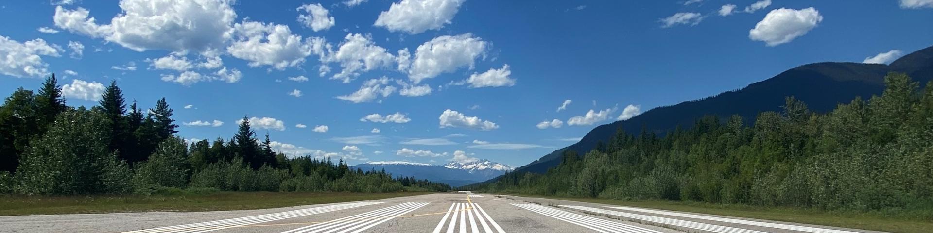
The Village of Nakusp maintains a registered aerodrome located at 1315 Airport Road. The 2983′ (914m) paved landing strip is located just north of town (access via Hot Springs Road).
Cement block tie-downs are available for short-term parking. The asphalt runway surface is 75′ (23m) wide. An extensive brushing and line painting project was completed in the fall of 2014.
| Specifics: | |
|---|---|
| Airport Identification | CAQ5 – Nakusp Airport, listed in the Canadian Flight Supplement |
| Coordinates | N End: N50 16′ 12.72″ W117 48′ 59.34″ S End: N50 15′ 48.12″ W117 48′ 34.14″ |
| Airport Elevation | 1689′ |
| Length | 2983′ |
| Width | 75′ |
| Radio Communications | ATF 123.2 5NM 4700 ASL |
| Night Flying: | No – no lighting provided |
| Maintenance | Maintained year round |
| Services | No phone, fuel or transportation |
| Nearest Fuel | Revelstoke (55 km) Vernon (65 km) Castlegar (90 km) Nelson (95 km) |
| Magnetic Variation | 15.4667 East (2016) |
| Time Zone | UTC-8(7) |
| NOTAM | File CYCG (Kamloops) |
| Runway Magnetic Bearings | 12/30 (131.2414/311.2468) |